Lanes and markings
Each road is one line as wide as its lanes; the lanes and their paint lie on it, in metres.
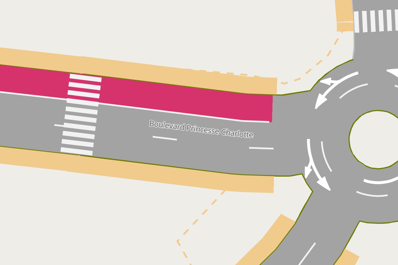
The road
roadstyle draws the road: one line whose width is its lanes together, plus the centre line between two
directions (centre_line_m) and a thin outline (casing_m). Its outline, ends, bridges and tunnels, its
place under or over other roads and its street name are roadstyle's, from the level area: the
editor changes them.
The lanes
| lane | drawn | width |
|---|---|---|
| car | invisible, but it highlights and opens its popup when clicked | its OSM width:lanes, else default_width_m (3.25 m) |
| bus | in colors.bus |
as a car lane |
| bike | in colors.bike |
width_m_by_use.bike (1.5 m) unless tagged |
| bus and bike | in colors.bus, with both marks |
as a car lane |
A road cars do not use (a footway, a cycleway, a pedestrian street) is drawn in the colour of who uses
it (colors.groups: walking, cycling); pushing a bike counts as walking.
The paint
- Lane lines: dashed between two car lanes (
lines.dash_m3 m,lines.gap_m9 m), solid next to a bus or bike lane, a solid centre line between two directions;lines.width_mwide, from zoom 17. - Arrows: one per lane
arrows.end_mbefore it reaches a junction, the moves the lane allows (from SUMO's turns: straight, left, right, U-turn, and the forks the movement codes say), from zoom 18. - BUS and bike: painted on bus and bike lanes from 15 m, drawn with strokes, from zoom 18.
All of it is roadstyle items (render_edges(items=)), so a road over another covers its paint, and a
tunnel's paint takes the tunnel's colour.