The base map
Everything that isn't a road comes from the same duckOSM database (its features.*
layers), styled like openstreetmap.org. No tile server, no API key.
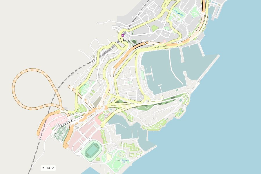
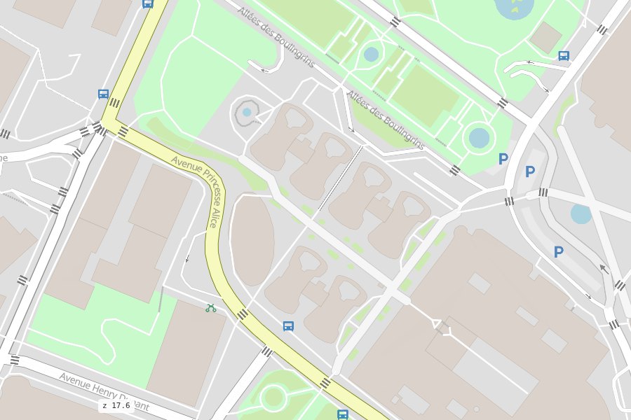
The layers
In drawing order, bottom first. Each has a row in the LAYERS box, so it can be hidden.
| Layer | From duckOSM | Shows | From zoom |
|---|---|---|---|
ocean |
features.ocean |
the sea | |
landcover |
features.land (+ school, hospital and sports grounds from sites) |
parks, grass, forest, residential and industrial land, cemeteries, beaches…; forests, orchards, cemeteries, wetland and scrub get openstreetmap.org's textures | |
water |
features.water_polygons |
lakes, rivers, basins, docks | |
waterways |
features.water_lines |
rivers, streams, canals, ditches | |
buildings |
features.buildings |
building footprints | 15 |
railways |
features.streets |
rail, tram, light rail, subway, funicular, monorail | |
parking |
features.sites |
car parks | 15 |
parking_p |
features.sites |
a "P" on each car park | 16 |
bus_station |
features.sites |
bus station footprints | 15 |
platform |
features.sites |
transit platforms | |
traffic_signals |
features.traffic |
traffic lights | 16 |
crossings |
features.traffic |
pedestrian crossings, turned to lie across their road | 16 |
bus_stations |
features.public_transport |
bus stops | 16 |
train_stations |
features.public_transport |
railway stations and halts | 12 |
bicycle |
features.pois |
bicycle rental | 16 |
The roads are drawn between the area layers and the points: the points (icons) are always on top.
The sea
OpenStreetMap has no sea polygons, only coastlines. duckOSM fills features.ocean from Overture
Maps' ocean polygons (built from OpenStreetMap's coastline) while it builds the database. A database
built offline, or with options.sea: false, has no sea: the coast's water is then land-coloured.
Choose the layers
ms.render_map(db, layers=["buildings", "crossings"])   # just these
ms.render_map(db, layers=False)                        # roads only
A database built without the base map (duckosm build --no-features) gives the roads only, with a
logged hint.
Clicks, tooltips and kinds
Each layer can be clickable (a popup with its name and kind), show a hover tooltip, or neither:
From JavaScript, rsSetInteraction, rsSetKinds (only some kinds of a layer, e.g. just parks) and
roadstyle's rsSetOverlay change them on the page (JavaScript API).
Change the look
The base map is data: styles/layers.yaml says which layers, in which order, with which filter;
styles/osm_carto.yaml says how each looks (colours by kind, outlines, textures, icons, zoom
ranges). See Styles.
The raster maps of roadstyle (CARTO Voyager and Positron, OpenStreetMap, satellite) stay in the base-map switcher (top right) for comparison; they are loaded from the web.