How roads are drawn
A road network is not a set of independent lines: roads join, cross over and under each other, and run in two directions. mapstyle draws each edge of the duckOSM network so that junctions read right.
Every road edge stays its own feature on the page: hover it, click it, filter it or colour it by its
edge_id, whatever the drawing does around it.
Two directions, two lanes
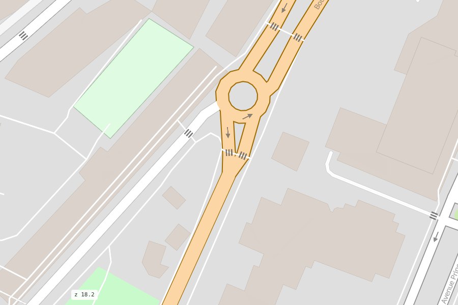
duckOSM stores a two-way street as two directed edges. They are drawn side by side, one per direction (from zoom 15), so each can be clicked and coloured on its own, and their shared end is drawn as one round end, not two bumps.
A one-way street is one line with arrows. duckOSM also gives it a walking-only reverse edge
(pedestrians may walk both ways); mapstyle marks that edge is_directed = false, so it doesn't turn
the street into a two-way road. Footways, steps and other paths are one line too, whichever way you
walk them.
Over and under
The OpenStreetMap layer, bridge and tunnel tags decide what passes over what:
- Bridges are drawn over the roads they cross, with square deck ends.
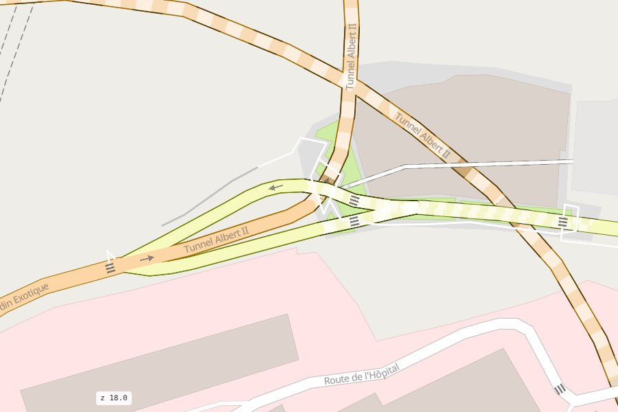
- Tunnels are ordinary roads with a tunnel style: a dashed outline and light dashes on a faded fill. A tunnel is at ground level, so its mouths join their street like any road continuing; it goes under the roads only where it really passes under one (4 m clear of the street's drawn width).
- A road with only a
layertag acts the same: it is at ground level, so a tunnel approach taggedlayer=-1, or a walkway that starts at a path, still joins the road it meets, and it is drawn over (or under) a street only where it really crosses it. - How that is drawn. Every road has a casing number (in three parts: start, main, end) and a fill number, computed by
roadstyle from the roads' levels, the road classes and where roads meet or cross: the roads are painted number by
number, lowest first, and at each number all casings before all fills, so joints show no ring and an overpass is over its road. If the database has
visualization.edge_levels(duckosm levels: one level area for all modes, next to the file), the page reads them with each road end's head and shape; if not, they are computed while the page is made. To fix a place by hand:roadstyle-levels edit monaco.levels, then make the page again. A click on a road is its own edge. - Crossings (
footway=crossing) are drawn over their street, mapped sidewalks under it. - Slip roads (
*_link) are drawn under the streets they join.
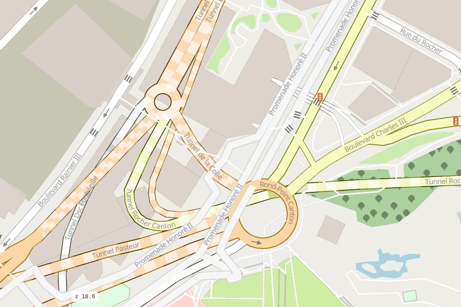
The Bridges and Tunnels rows in the ROADS box hide them.
Roads you may not use
duckOSM keeps the roads a mode may not use apart (private_edges): private roads (driveways, gated
streets) and, for cars, bus-only roads and bus lanes. They are on the map in their own colour,
grey for private and muted blue for bus, each with a row in the ROADS box
(Private roads, Bus lanes) to hide or show them. They are never part of a route.
Which roads count depends on the map's mode: on a driving map, those cars may not use (as duckOSM's
driving map); on the map of every mode, bus lanes (even where bikes may use them) and the private
roads no mode can use. Your own colours (rsColor) paint over them.
Where it comes from
This drawing is roadstyle's (0.10 and later), fed by
mapstyle with what it knows from duckOSM: which edges are directed (directed_col), and which paths
are crossings or sidewalks (band_col, from duckOSM's walk_type), and which stretches of a road
pass over or under another (band_col again, with cap_col for their square ends).