mapstyle
A whole OpenStreetMap map in one offline HTML page: the roads for driving, walking and cycling over a full base map, from one duckOSM database.
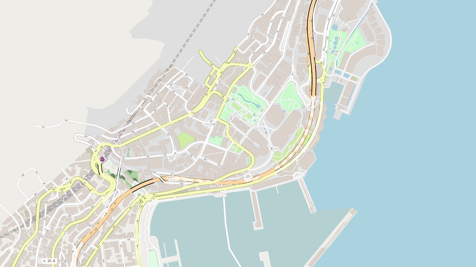
pip install mapstyle "duckosm @ git+https://github.com/Khoshkhah/duckOSM"

curl -LO https://download.geofabrik.de/europe/monaco-latest.osm.pbf
duckosm build --pbf monaco-latest.osm.pbf -o monaco.duckdb \
              -m driving -m walking -m cycling
mapstyle monaco.duckdb          # -> monaco_all.html: one file, opens offline
What you get
-
Every travel mode
One map for driving, walking and cycling, or one network brought to the front: the roads for cars fade, the paths stand out.
-
A full base map
The sea, land use, water, buildings, railways, parking, transit and road furniture, all from the same database. No tile server, no API key.
-
Roads drawn right
Bridges over, tunnels under only where they really pass under a road, raised walkways, footways and crossings never over a street (the zebra marking is), two-way roads as two lanes.
-
Route planner (demo)
A demo of a page built on mapstyle: drag a start and an end, see duckOSM's route.
-
Dashboard
Filter by mode, road class and layer, colour by mode, and read every road and feature you click in a side panel.
-
A JavaScript API
Every page is a roadstyle page: filter, colour and query roads and layers from your own code, with 3D and vector tiles built in.
How it fits together
| Project | Its part |
|---|---|
| duckOSM | turns an OpenStreetMap extract into one DuckDB file: the driving, walking and cycling networks, plus the base-map layers (features.*, the sea included) |
| mapstyle | reads that file (with duckdb, nothing else) and styles all of it as one map |
| roadstyle | draws the page: MapLibre GL, the road styling, and the JavaScript API |
The result is a single HTML file you can open from disk, email, or put on any web server.