Travel modes & path styles
A mode picks which network stands out; a path style picks how footways and cycleways look. The two are independent.
Travel modes
Every page has every road. The mode decides what comes to the front:
| Mode | What stands out | Live |
|---|---|---|
all (default) |
nothing: every network at its own width, as on a general map | open |
driving |
the roads for cars | open |
walking |
footways, paths, steps, pedestrian streets; the roads for cars thinner and faded | open |
cycling |
cycleways; the roads for cars faded | open |
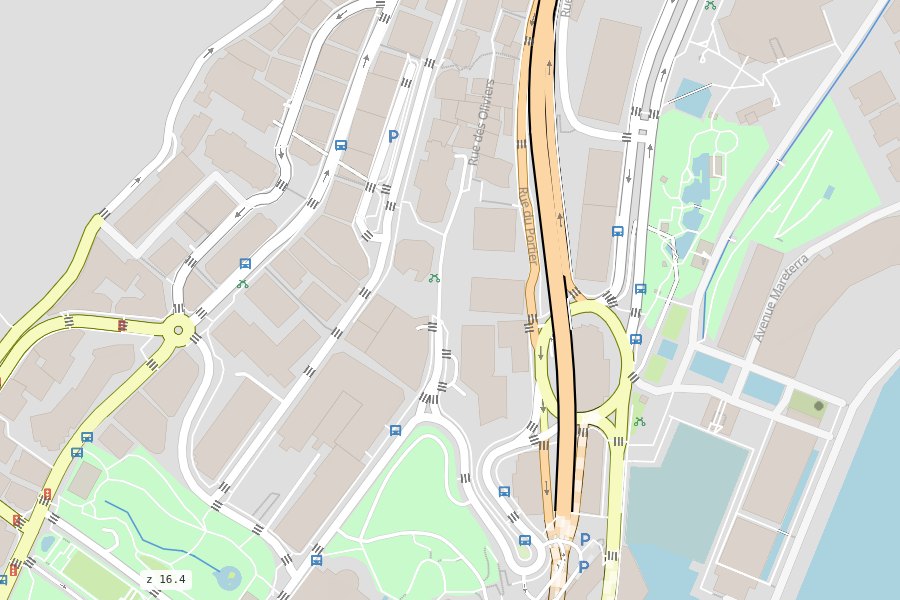
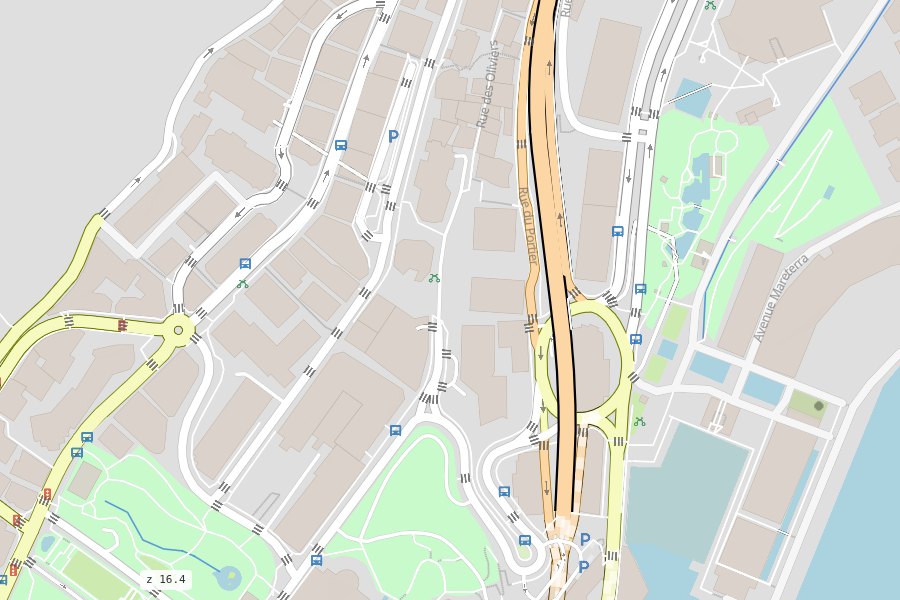
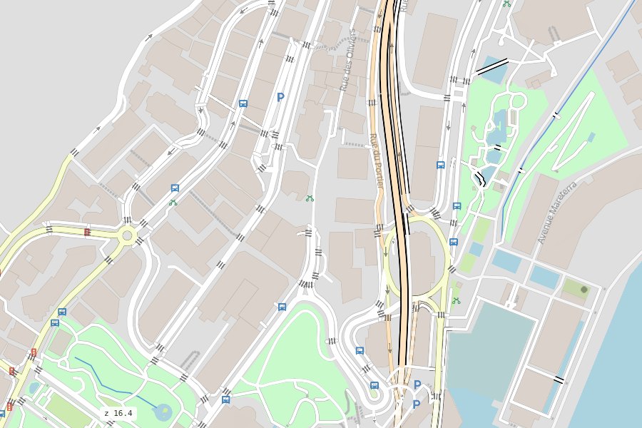
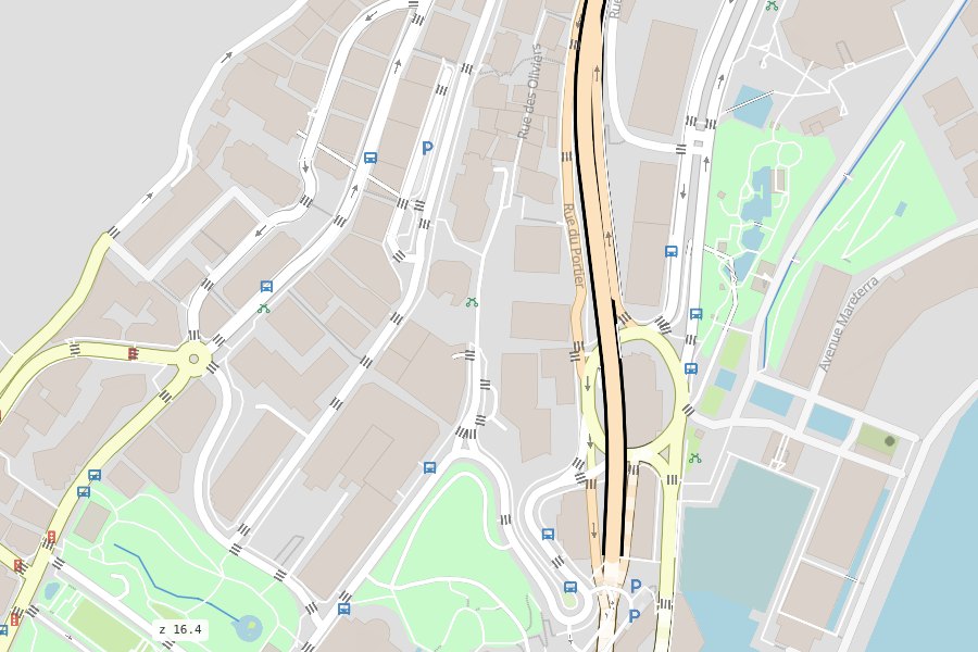
In the walking and cycling modes every road is one centred line (no lanes), so the paths beside
it stay readable. On any page, rsSetModes(["walking"]) shows only the roads a mode can use
(JavaScript API).
Path styles
How walking and cycling paths look, on top of the mode:
| Style | Looks like |
|---|---|
google (default) |
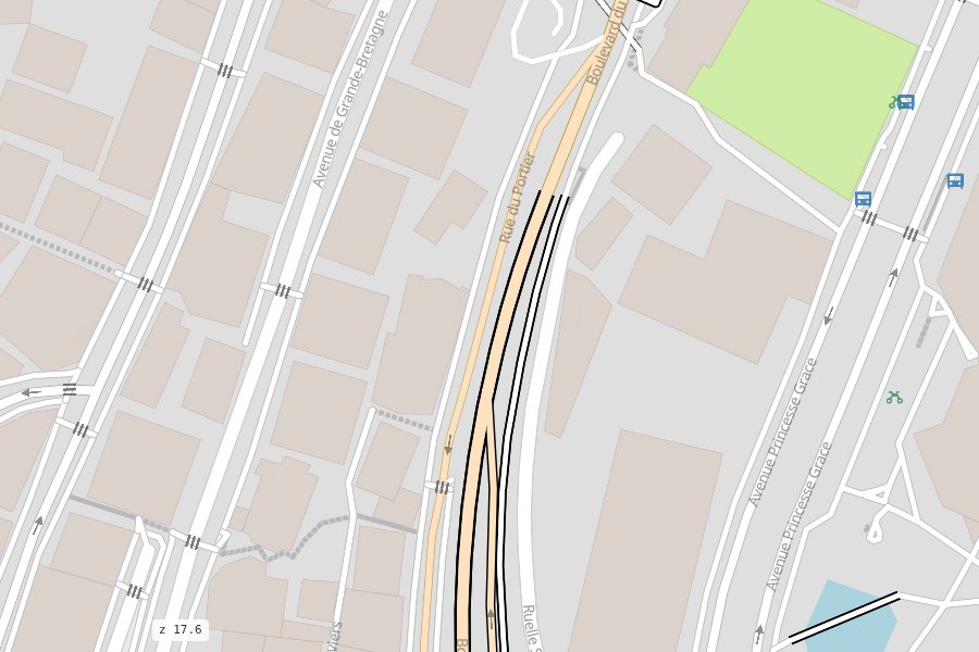
Google / Apple Maps: calm, thin, light solid lines |
osm |
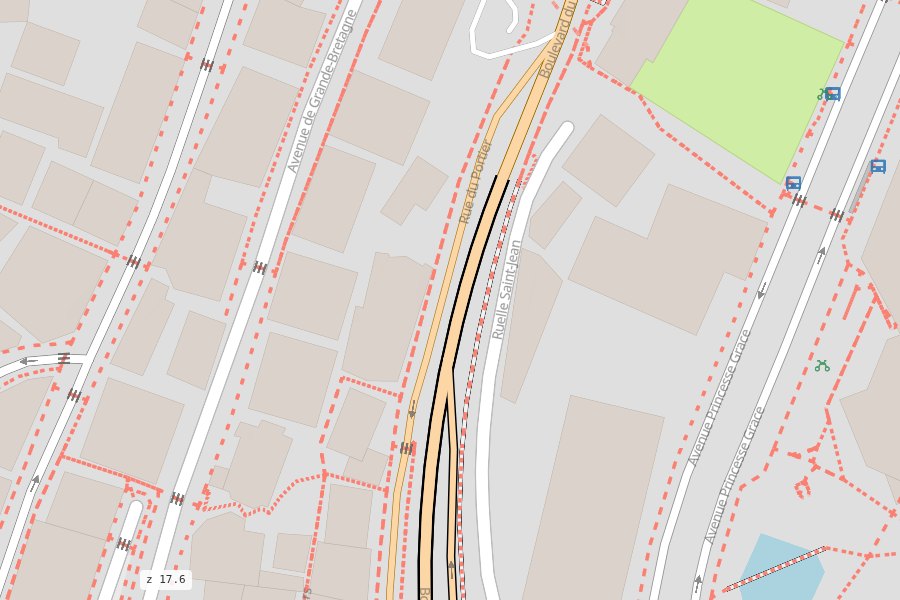
openstreetmap.org: thin dotted and dashed paths (live) |
komoot |
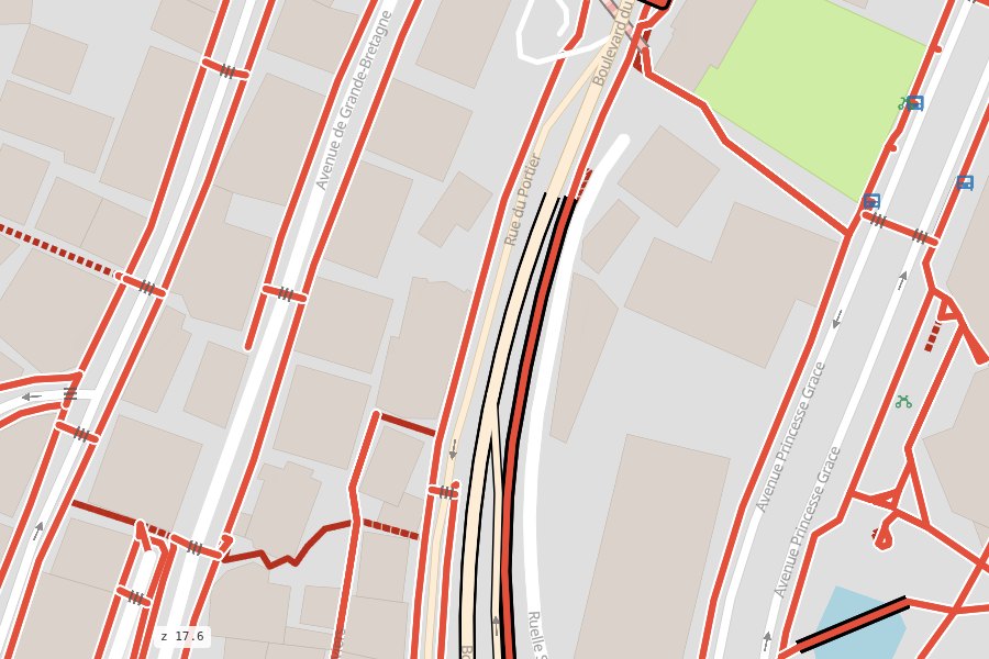
outdoor apps: bold solid colours with a white halo, by type (live) |
cyclosm |
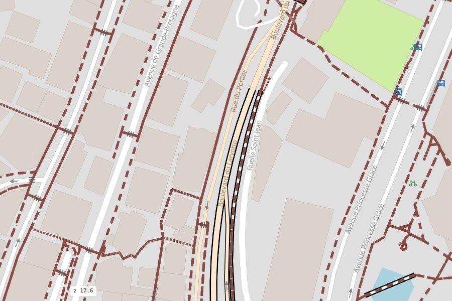
the CyclOSM map: solid blue cycleways, thin dark dashed footways |
Both are data: styles/modes.yaml and styles/paths.yaml (Styles).